
Downloads
Full view (jpeg: 90.26 KB)
Learn more about copyright and access restrictions for use of materials from Worthington Memory.
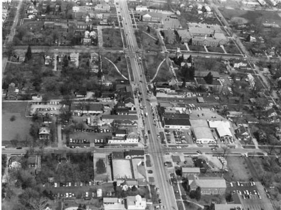
Aerial View of Worthington is a picture, with genre photograph. Its dimensions are 4 in. x 5 in..
It was created around 1968-1972.
City of Worthington is the Creator.
This view shows High Street, looking north from the business district to the north end of the Village Green. This section of the city is known as Old Worthington.
It covers the topics neighborhoods, business and streets and roads.
It covers the city Worthington. It covers the area Village Green.
You can find the original at City of Worthington.
This file was reformatted digital in the format video/jpeg.
The Worthington Memory identification code is cow0071.
This metadata record was human prepared by Worthington Libraries on September 2, 2003. It was last updated February 8, 2019.