Downloads
Full view (pdf: 1.36 MB)
Learn more about copyright and access restrictions for use of materials from Worthington Memory.
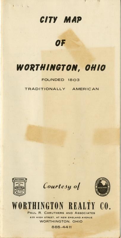
1962 City Map of Worthington, Ohio is cartographic material, with genre map. Its dimensions are 8 in. x 4 in.. It is 4 pages long.
It was created in 1962.
Worthington Realty Company and Paul Redick Caruthers, 1890-1966 are the Creators.
This city map of Worthington by the Worthington Realty Company was included with the October, 1962 telephone directory of Westerville and Worthington. It includes schools, churches, government buildings and businesses.
The Worthington Realty Company has operated in central Ohio for over 100 years. In 1962, Paul R. Caruthers owned the business.
It covers the topics street names, business and schools.
It covers the city Worthington.
You can find the original at Worthington Historical Society.
This file was reformatted digital in the format video/jpeg2000.
The Worthington Memory identification code is whs1084_001.
This metadata record was human prepared by Worthington Libraries on June 27, 2018. It was last updated September 13, 2018.

